What We Offer
Classified Turning Counts, Link Flow Counts, Queue Length Studies, Signal Phasing, Journey Time Surveys Phasing, Parking Occupancy & Demand Surveys, Pedestrian & Non-Motorized Traffic Counts, Interview Surveys, Street Inventory, Car Park Studies (including duration of stay), Traffic Analysis, Data Processing of Recorded Videos from Europe.
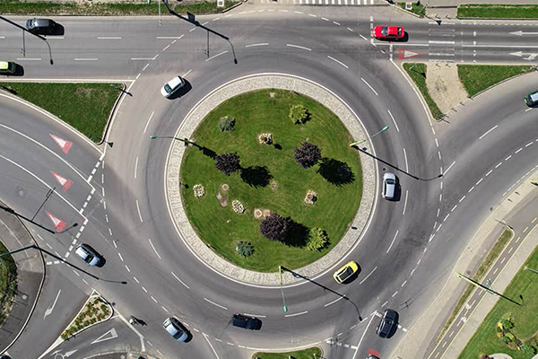
Turning Movement Counts
We conduct detailed Classified Turning Counts (CTC) to record vehicle movements at intersections. Data is collected and classified by vehicle type, movement, and time period—helping in junction design, capacity analysis, and traffic signal optimization.
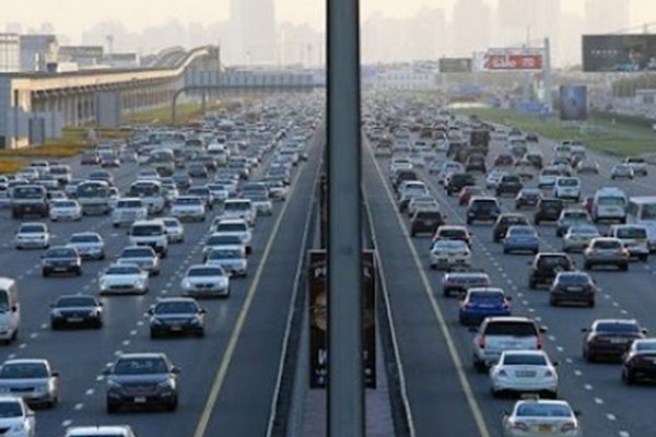
Link Flow Counts
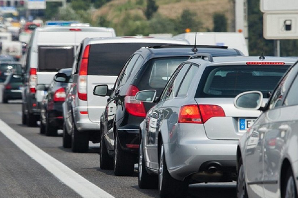
Our Link Flow Counts measure traffic volumes along specific road sections or corridors. These counts are used to assess road capacity, plan diversions, and evaluate traffic distribution patterns for better network performance.
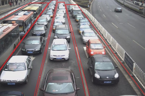
Queue Length Studies
Queue Length Studies help assess congestion levels and signal efficiency at intersections. Using advanced video or sensor-based observation, we accurately determine maximum, average, and residual queue lengths—critical for improving traffic flow.
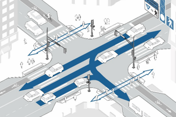
Signal Phasing
Signal Phasing studies analyze the operation and coordination of traffic signals. We assess phase timings, cycle lengths, and delays to optimize intersection performance, reduce waiting times, and enhance safety for all road users.
Journey Time Surveys
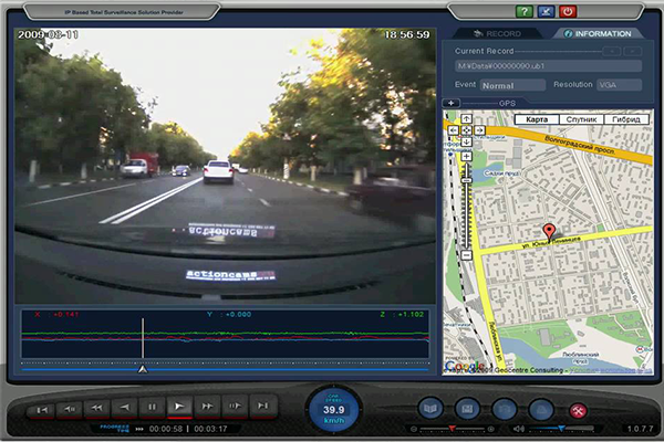
Our Journey Time Surveys capture real-time travel data using GPS-enabled devices or Bluetooth sensors. This data helps evaluate route efficiency, identify congestion points, and support transportation planning and performance monitoring.
Parking Occupancy & Demand Surveys
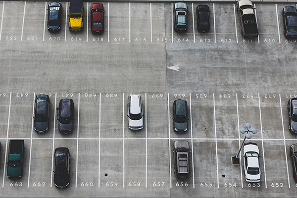
We perform comprehensive Parking Occupancy and Demand Surveys to determine parking patterns, duration of stay, and peak-hour utilization. These insights help in planning efficient parking management systems and policy decisions.
Pedestrian Surveys
We conduct Pedestrian Surveys to monitor foot traffic movement, crossing behavior, and flow patterns in urban areas, commercial centers, and intersections. The collected data helps planners design safer walkways, improve crossing facilities, and enhance overall pedestrian safety and accessibility.
Vehicle Occupancy Surveys
Vehicle Occupancy Surveys (VOS) determine the average number of occupants per vehicle across different modes and times of day. These insights support transport demand modeling, carpooling initiatives, and policy development aimed at reducing congestion and emissions.
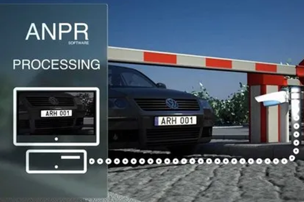
ANPR Surveys
ANPR Surveys use advanced camera systems to capture and analyze vehicle number plates in real time. This technology helps identify travel routes, origin–destination patterns, and travel times—providing highly accurate data for network planning and traffic management.
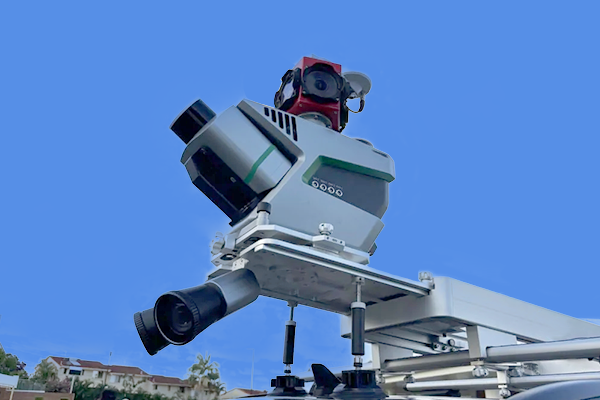
LiDAR Sensors / Mobile LiDAR Surveys
LiDAR (Light Detection and Ranging) uses laser pulses to measure distances to surfaces, creating very accurate 3D maps of the environment. Mobile LiDAR units are often mounted on vehicles or drones moving through a corridor.

Drone / UAV-based Aerial Photogrammetry & Traffic Analytics
Use of unmanned aerial vehicles (drones) with cameras (and sometimes LiDAR) to capture aerial imagery. From this imagery, photogrammetry or video analytics is done to extract traffic flow, count vehicles, monitor congestion or incident-scenes.
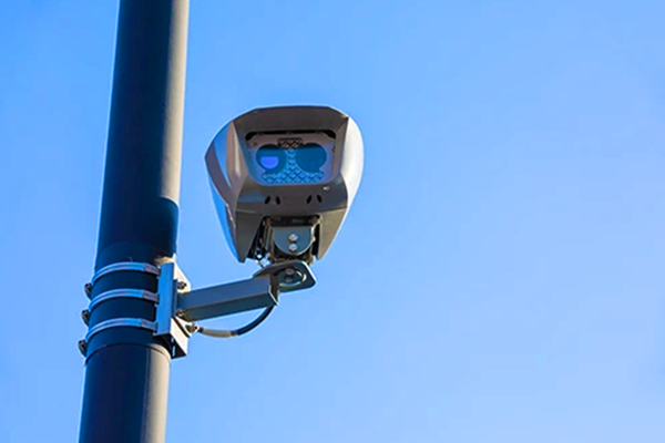
AI + Thermal / Visible Cameras / Sensor Fusion
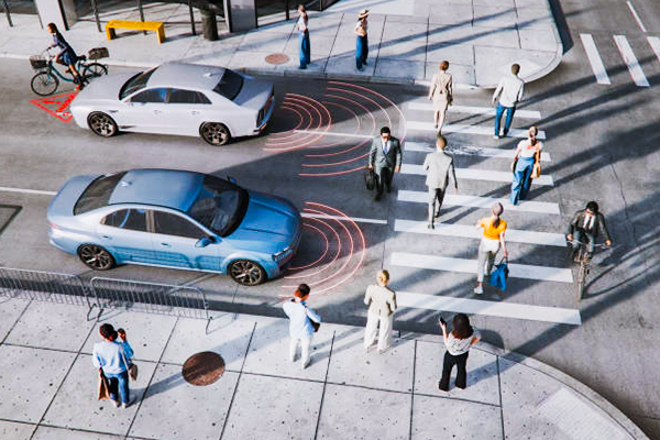
Using high resolution cameras (both visible light and thermal), combined with edge or cloud-based AI/video analytics. These detect and classify vehicles, pedestrians, bicyclists, measure speeds, detect incidents, count traffic, and integrate radar or thermal sensors for reliability in poor lighting or weather.
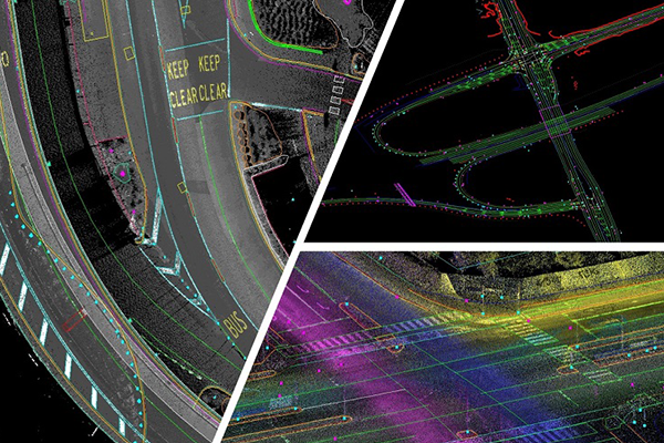
Mobile Mapping / Corridor Mapping
Mobile mapping involves mounting multiple sensors (cameras, LiDAR, GPS, IMU) on a moving platform (vehicle, UAV) to collect geospatial data along corridors. The data is processed to build detailed maps, detect pavement condition, road markings, and side-features.